What can Undet for AutoCAD do for you?
Undet enables AutoCAD Point Cloud users to efficiently leverage 3D laser scan point clouds, expanding the toolkit for precise 2D and 3D drawing creation within AutoCAD.
Undet enables AutoCAD Point Cloud users to efficiently leverage 3D laser scan point clouds, expanding the toolkit for precise 2D and 3D drawing creation within AutoCAD.
Point cloud extension that accelerates point cloud processing, improves accuracy and minimizes rework
Just select an unclear 3D data point in the CAD model and Undet Browser will deliver the oriented view from the nearest scan stations.
Wide set of easy-to-use tools for viewing and working with slices (view sections) of 3D point cloud data to easily control the information you see.
Auto-Multi line tool for fast 2D linework extraction with a single click to achieve best-fitting accuracy to actual point cloud slice.
Automatic feature extraction tools for 3D modelling: extract, fit, extrude, divide, chamfer, fillet 3D solids and planes.
Undet Browser scripts to automatically create height annotation blocks by clicking on 360-degree panoramic images: door heights, beam heights, room heights and floor levels at once, floors to windows sill – sill to windows head heights and many more.
Automatic tools to find axis, set UCS to point cloud points and align lines to reference UCS.
Automatic view & UCS orientation tools: by line, by point cloud clip & by plane/objects.
Terrain meshing tools to automatically extract pure ground surface mesh with additional tools to edit extracted mesh: decimate, close holes, remove spikes, remove edges, join & export meshes, apply texture and create sections.
Tools to automate the preparation of sections & elevations digitization, including new DGW file creations with dedicated UCS, datum line and key plan scheme.
Automated tools to group scan files into logical groups: external scans and internal level scans.
Orthophoto creation tools to quickly convert point clouds into raster images.
Automatic view sync feature to orientate view from the nearest scan stations in Undet Browser to unclear view of point cloud slice with a single click.
Quick access to point cloud viewer to view and analyze your 3D reality data in a way that feels like being live on site.
Point cloud colouring rendering mode by reference plane in fixed intervals to quickly understand changes in geometry to draw or identify missing lines/objects.
Tool to mark lines which do not follow UCS.
Surface deformation analysis tools for walls and floor Flatness & Levelness analysis, including automation of generating hundreds of images of vertical deformation reports.
Smart snapping mode to snap to point cloud points in different ways (to the nearest, highest, and lowest points) and dismiss snapping error to noise points.
Point cloud import from any laser scanner or drone: *.E57, *.FLS, *.RCP/RCS, *.PTX, *.ZFS,*.LAS, *.LAZ, *.PTS, *.PLY, *.DP, *.FPR, *.LSPROJ, *.FWS, *.CL3, *.CLR, *.RSP, ASCII / NEZ (X,Y,Z/i/RGB) and custom ASCII / TXT file format import.
Point cloud visualization with multiple colour modes: by source (RGB), by intensity, by plane, by Z (height) and by scan stations.
Software is optimized to maintain high computer and software performance even when working with large amounts of point cloud datasets (hundreds or even thousands of scan stations/files).
Intuitive point cloud viewer integration to understand & see better what the point cloud represents.
Coordinate system manager to move your point cloud quickly and align scan data to the UCS or move it to optimized coordinates to avoid screen glitching when working with georeferenced point clouds.
A dedicated toolbox for point cloud view sections management: activate, deactivate, delete, rename or export as a new Undet project.
Toggling tools of scan stations/files/view sections in no time, with an intelligent indicator to quickly identify the densest scan file in the active view section.
Tools to unroll point cloud by reference line/arc and export as a new Undet project.
Logical class management tools to reclassify the point cloud and manage the visibility of each logical class.
Without Automatic Renewal.
€100 /month, billed annually.
€69 /month, billed upfront.
Simply download Undet and start reaping the benefits!
* Undet works with Windows only. Compatible with AutoCAD 2024, 2023 & 2022
New Tools in Undet for Revit Plugin for Efficient Point Cloud Modeling We’re thrilled to share new features and…
READ MORE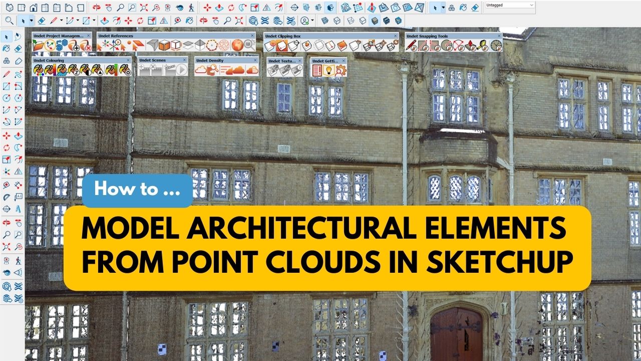
Modeling Architectural Elements from Point Clouds in SketchUp with UNDET Tools In the fields of architecture and construction, 3D…
READ MORE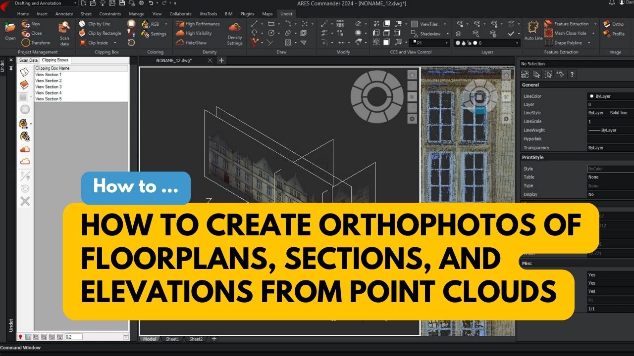
Orthophotos are images that show the true dimensions of objects, which can be used to accurately measure distances, areas, and…
READ MORE