Hey there, how can we help?
Find the answers to your questions.
If you cannot find answer then contact us.
Undet Browser integration for faster workflow
What is Undet Browser?
Undet Browser solves the main problem where it is not always easy to view and understand the point cloud in a CAD model, and where you often have to look at another screen loaded with a particular point cloud viewer. Most point cloud viewers work as separate software. Undet point cloud viewer works quite differently and offers unique features when point cloud viewer and Undet plugins are synchronized.
See the Undet Browser feature for ARES Commander in action:
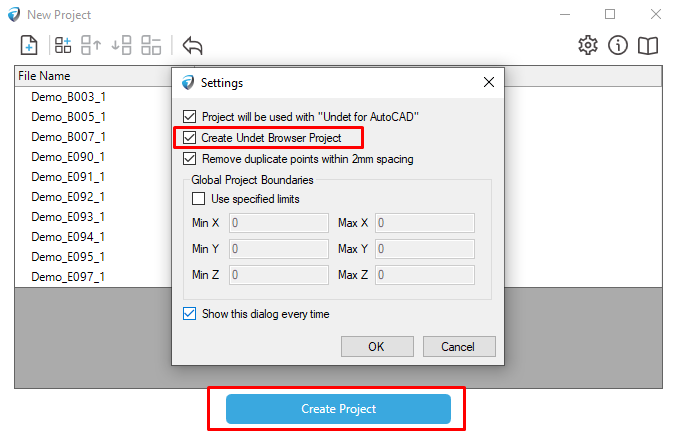
Creating an Undet Browser Project
Technical requirements for your point clouds to use Undet Browser:
- Point cloud data must be structured with scan station center information.
- Supported file formats: *.E57, *.IPCP, *.FLS, *.ZFS, *.RCP, *.PTX
- Unstructured and not supported point cloud file formats: LAS, *.LAZ, *.PTS, *.PLY, *.DP, *.ASCII, *.TXT, *.XYZ.
Use Undet Browser as a standalone viewer
| Step 1. Open the Undet Browser app.
To download the latest Undet Browser, click here. |
| Step 2. Select the Undet section. |
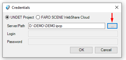
| Step 3. Specify your UNDET *.ipcp project file by clicking the […] button. |
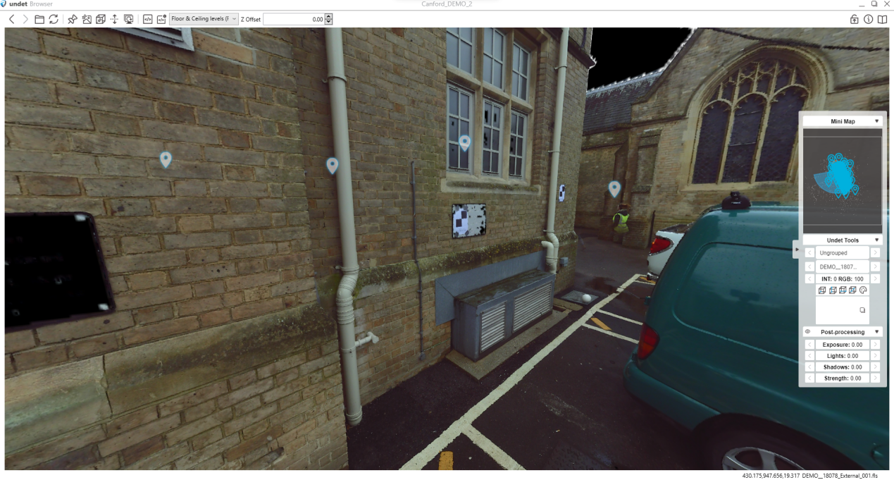
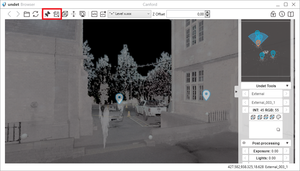
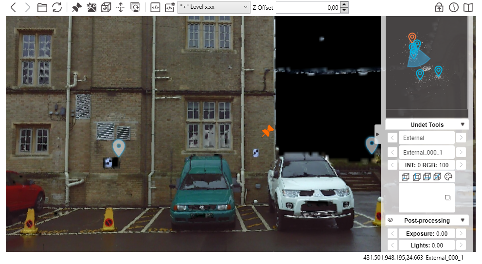
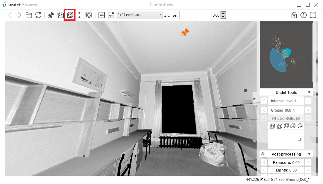
| Undet Browser view example:
|
Here is a video that covers essential Undet Browser features as a free point cloud viewer:
Undet Browser features for ARES Commander
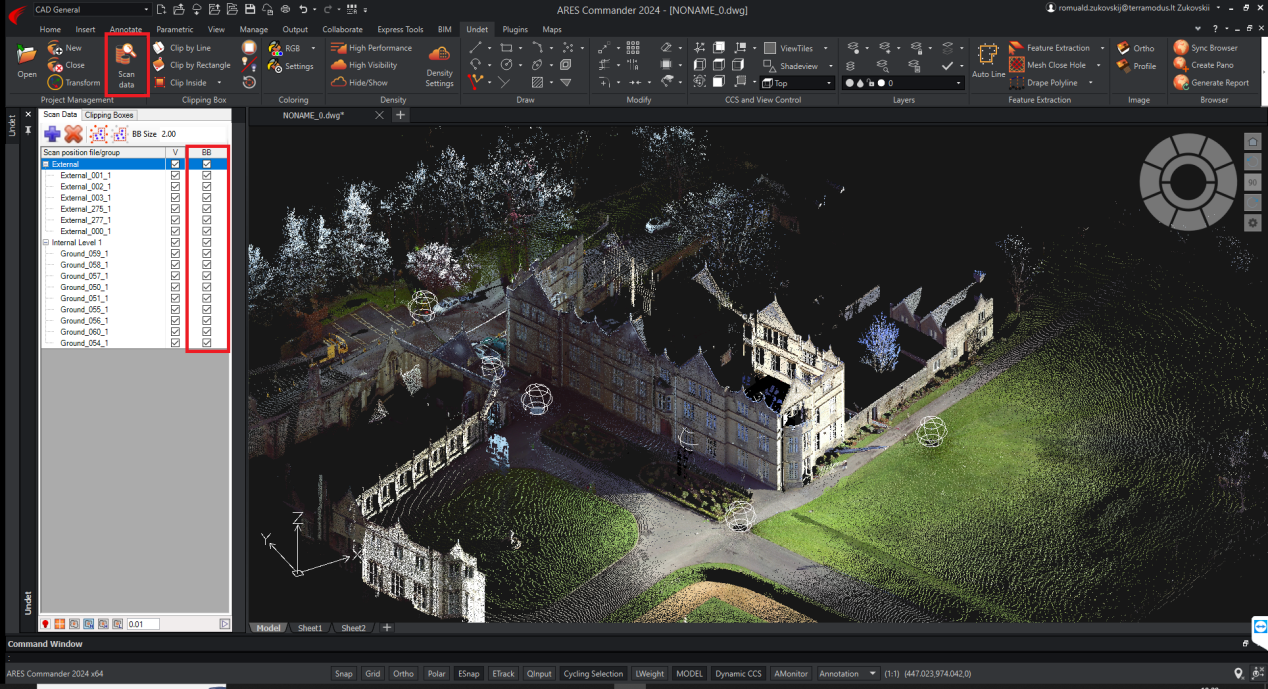
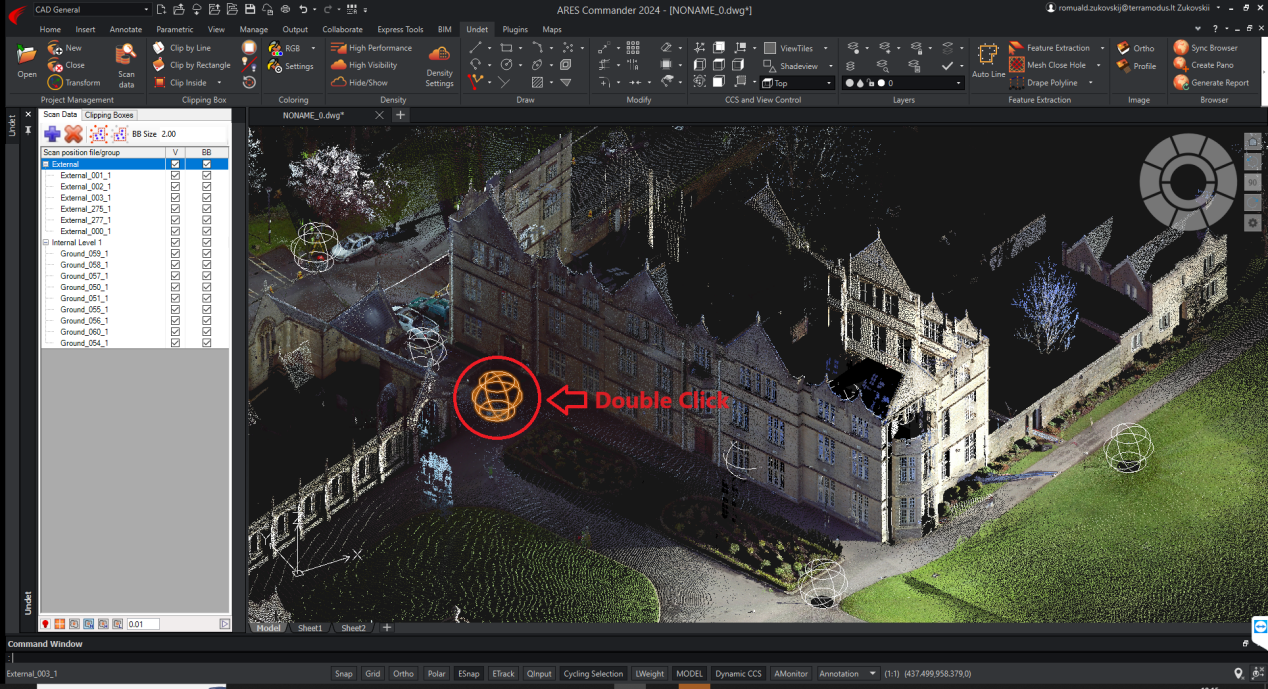
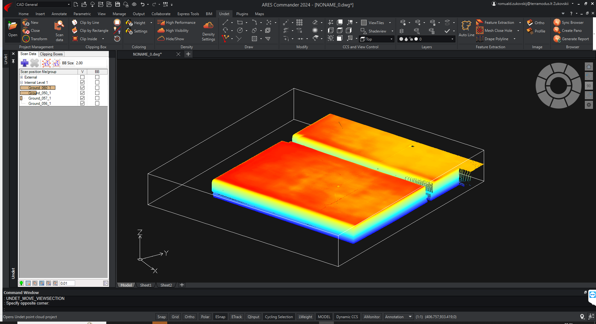
| First, to open the Undet Browser project, you must activate Scant station markers in the Scan Data Manager. Use the Undet Scan Data feature’s data files menu section to enable or disable (BB) scan station center symbols. |
| Double-clicking the Scanning Station Sphere will open the Undet Browser.
In the ARES Commander model space, locate the scanning station symbol, represented as a sphere. Double-click the left mouse button on the center symbol of the scanning station (the sphere). |
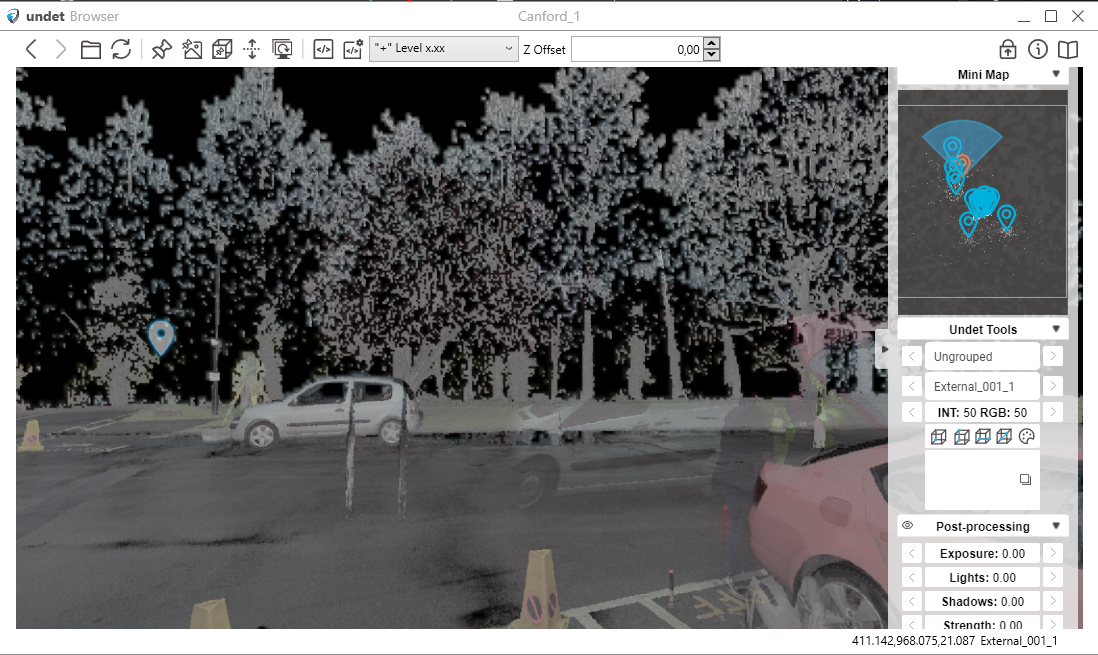
| As a result, your selected scan position will be opened in the Undet Browser in North view. |
3rd Way – Using the [View Sync] Button with a Point Cloud Point:
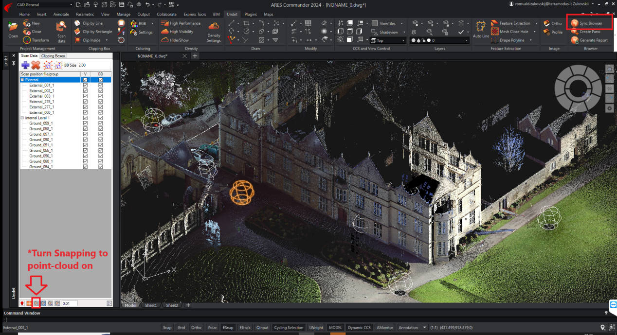
| Press the [Sync Browser] button in the ARES Commander model space.
Select a point cloud point from your model space by picking it. NOTE: don’t forget to turn snap to point cloud points on. |
| The [Sync Browser] tool will locate the scan station view in the Undet Browser based on the point cloud point you picked.
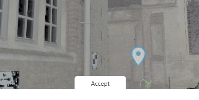
As a result of selecting the point cloud point, you will get the nearest scan station panoramic views oriented to the area around your selected point. |
| By pressing [Accept], you can choose the most relevant view from the available options.
These methods provide multiple options for opening and viewing Undet Browser projects, catering to different user preferences and needs. |
Undet Browser features for ARES Commander.
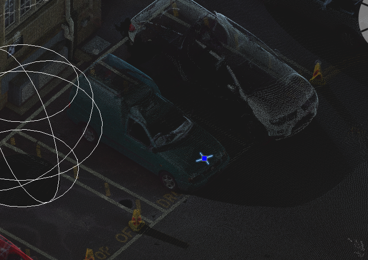
Draw points – sends a 3D point to the CAD model by picking a point in Undet Browser.
|
|
|
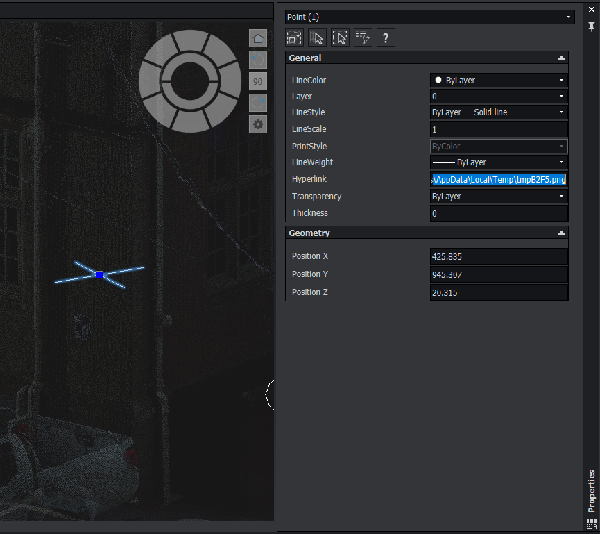
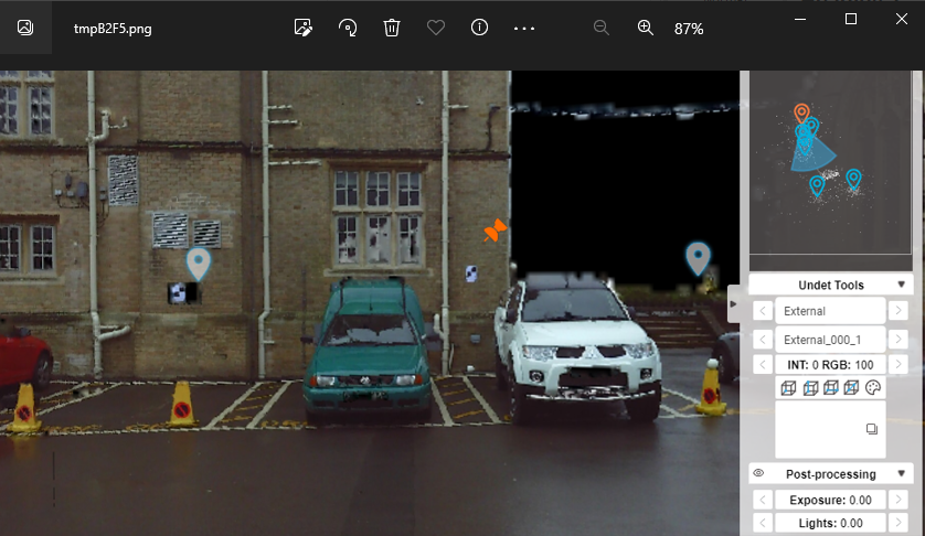
Add Hrefs – Adds a hyperlink to a screenshot of the panoramic scan view for the selected point.
|
|
|
Translate View Section – Updates Undet Clipping Box location by clicking in panoramic scan view.
|
|
|
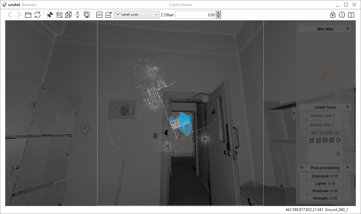
Change Elevation – Sets the Z value for newly created CAD objects.
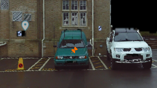
| Example: Polyline drawn with Change Elevation function turned off Z value – 0. |
| Activate Change Elevation and pick a point in Undet Browser for Z elevation. |
| Polyline Drawn with Change Elevation will have a Z value of the picked point. |
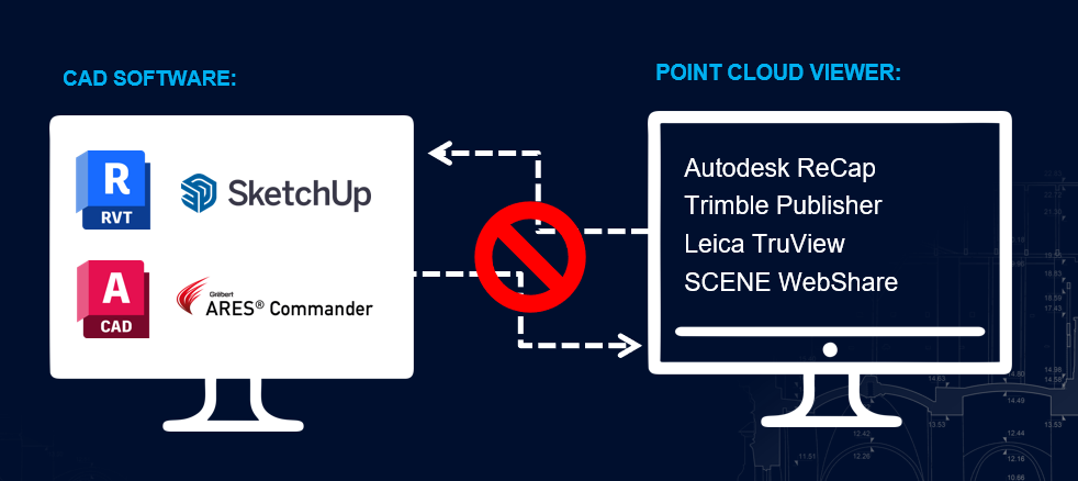
View Sync feature with Undet plugin – Please note that the “View Sync” function is compatible only with Revit and SketchUp. It does not work with ARES Commander and AutoCAD.
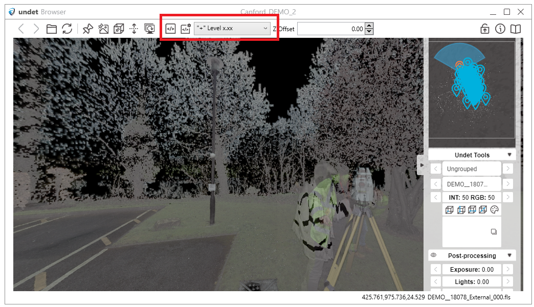
Scripts – This feature simplifies the annotation process by providing access to a comprehensive library of over 50 pre-built scripts. These scripts empower users to streamline and enhance their workflow when working with point cloud data. Whether you need to label specific features, apply measurements, or execute custom actions, Undet Browser Scripts offers many options for precise and efficient data manipulation.
Moreover, Undet Browser Scripts are not limited to the existing set. Users can write custom scripts, tailoring the tool to their unique project needs. This flexibility opens up a world of possibilities for users seeking to optimize their point cloud data analysis, annotation, and interpretation.
All instructions on how to use pre-built scripts and create custom scripts in Undet Browser are available in this comprehensive video tutorial: Undet Browser Scripts Tutorial (https://youtu.be/Wn5fhnwGpNs?si=FClzPXoOjpP0p_1x). This tutorial provides step-by-step visual guidance, making it easier to understand and leverage the powerful scripting capabilities of Undet Browser.
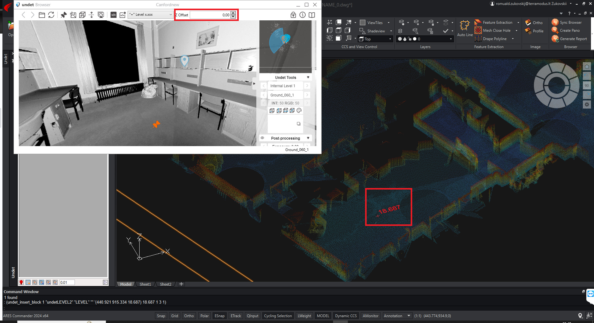
- Offset – provides users with the capability to offset scripts based on the Z coordinate.
| Z Offset – 0,00 | Z Offset – 4,00 |
 |
 |
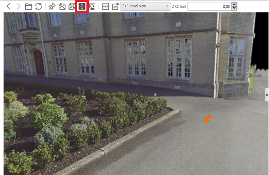
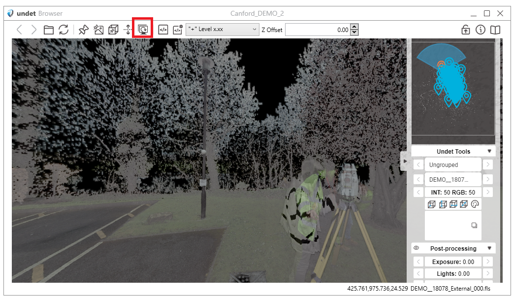
Always on top feature – ensures the Undet Browser window stays visible above other programs, allowing easy access while working with Ares Commander or any application, preventing it from getting hidden in the background.
Under the Browser Side menu

Mini map
Navigation in Undet Browser – you will find 2 levels of navigation in Undet Browser:
| Groups (levels) – same as grouped in Scan Data manager | 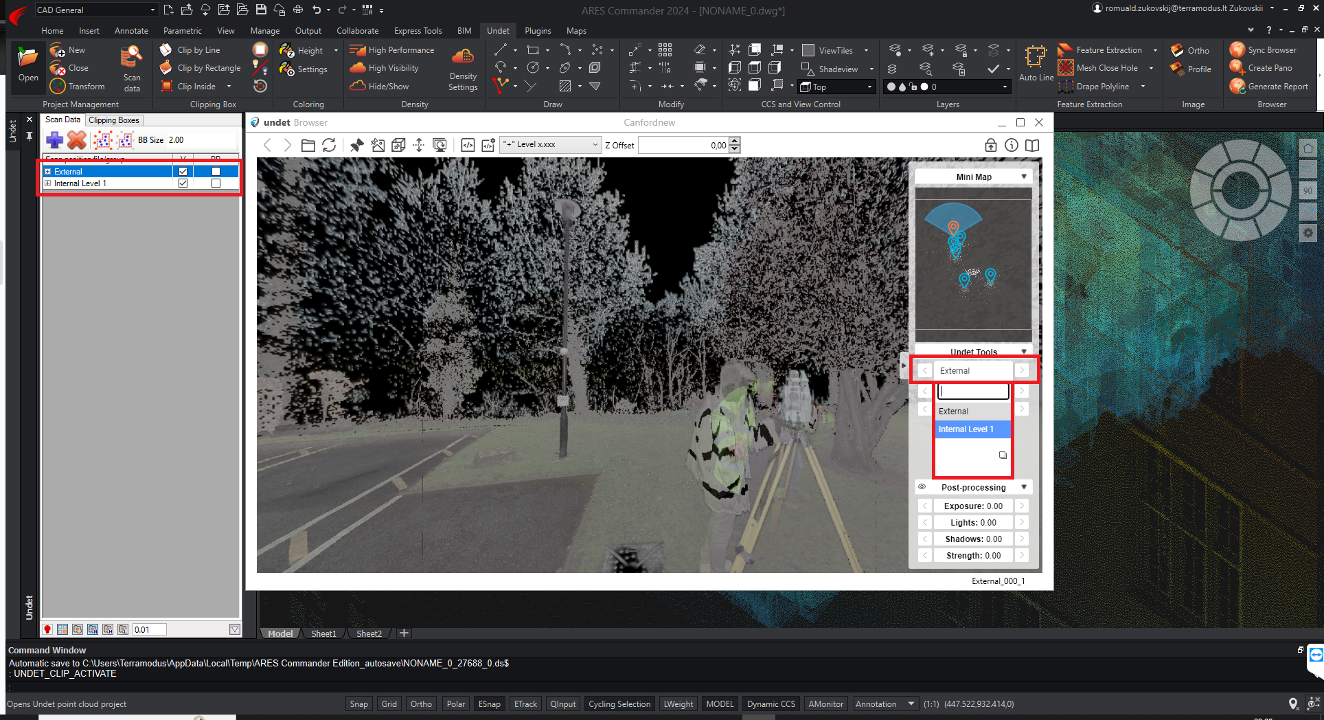 |
| Scan positions | 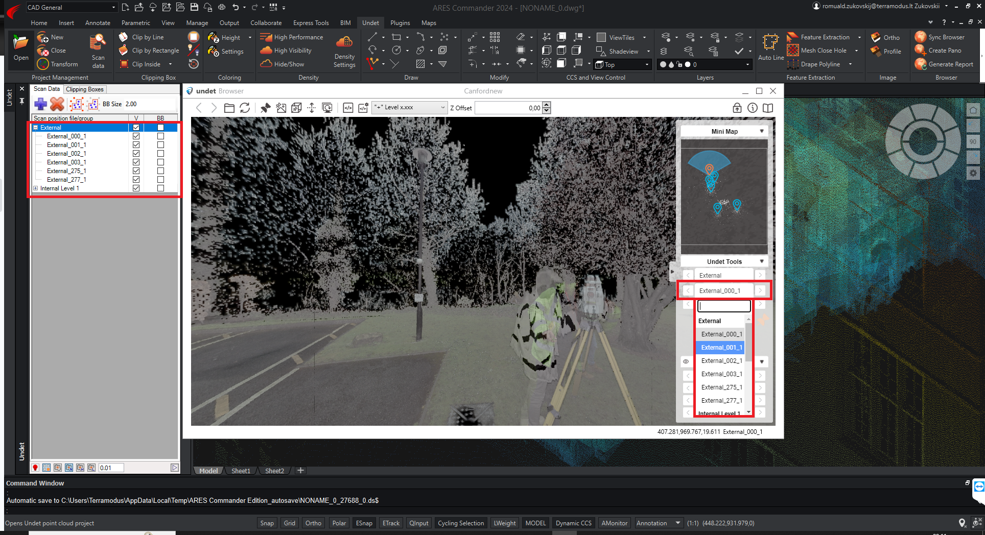 |
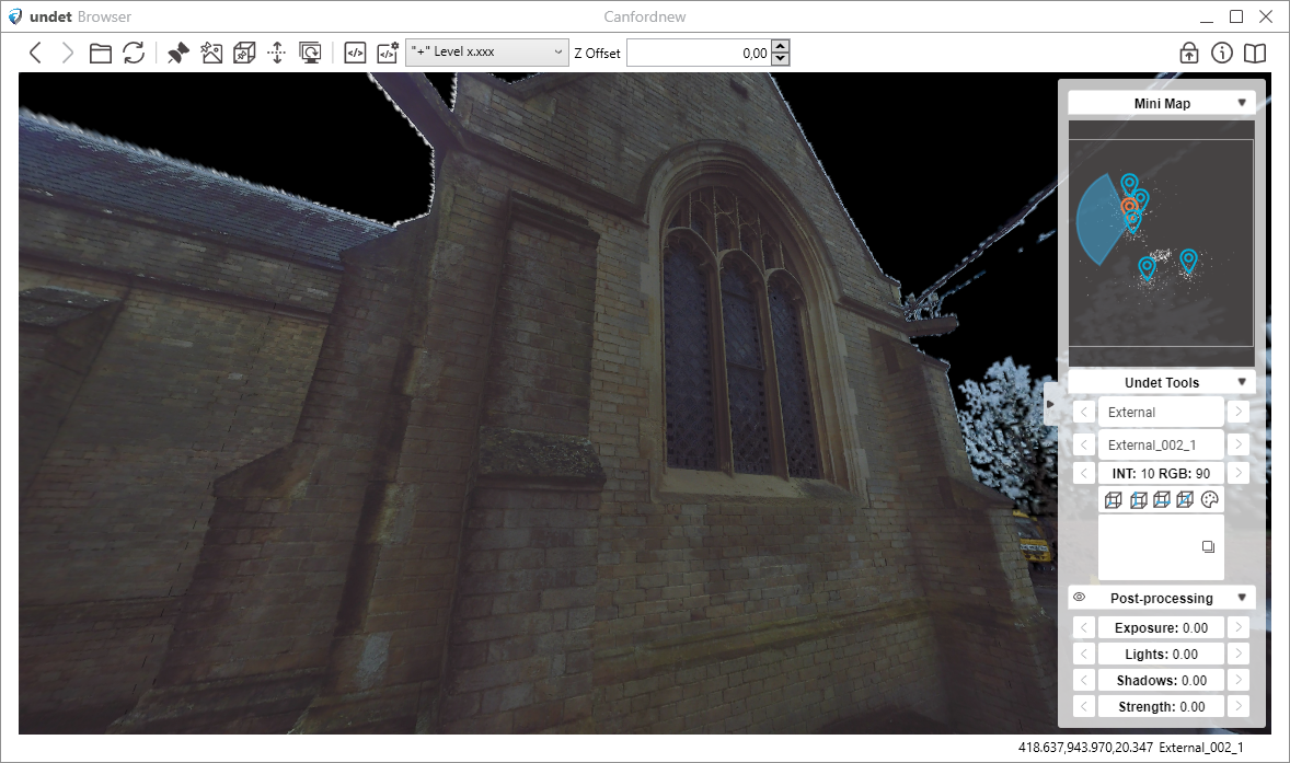
Colouring – function improves data visibility with a default scheme of INT:50 / RGB:50. You can easily customize these settings to match your preferences and workflow needs, ensuring a personalized and clear visual experience. Also you can change background color by clicking on this icon ![]() .
.
| INT:10 / RGB:90 | INT:90 / RGB:10 |
 |
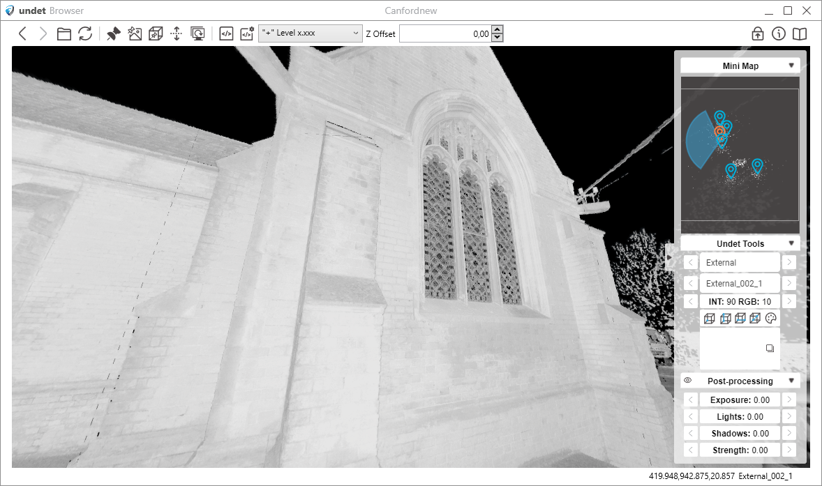 |
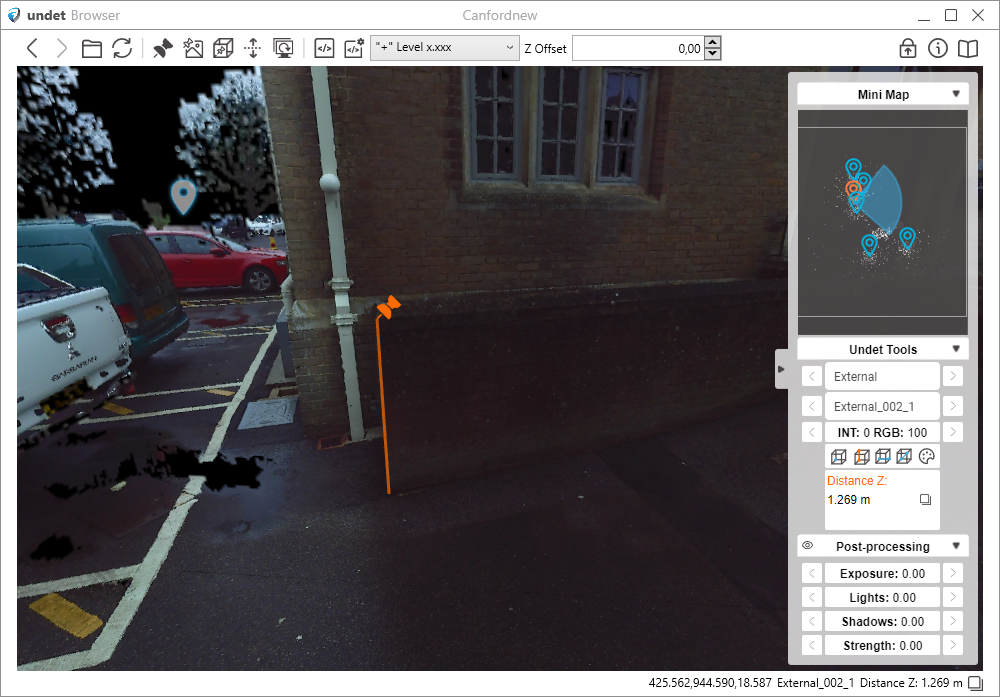
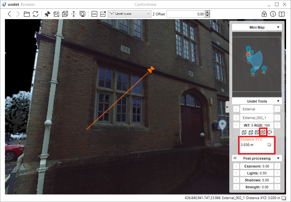
Measuring – In Undet Browser you will find measuring tools such as: get coordinates, get distance Z, get distance XY, get distance XYZ.
| Get Coordinates | Get Distance Z |
| Get Distance XY | Get Distance XYZ |
Post-processing – in the Undet Browser provides users with the ability to modify their view by adjusting exposure, lights, shadows, and strength parameters. This feature empowers to fine-tune your visualization settings for an optimized and personalized viewing experience. Double click on parameter will change it back to default 0.00
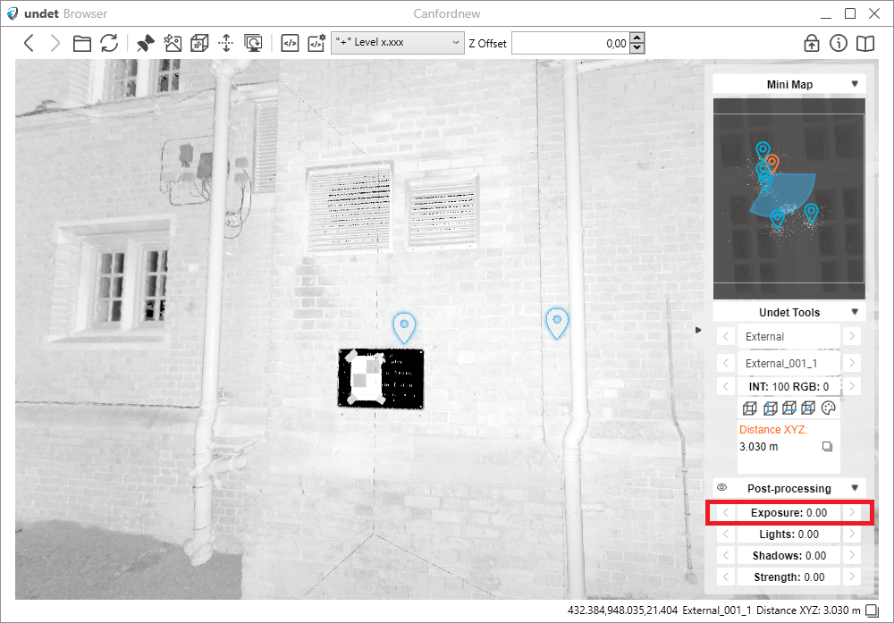 |
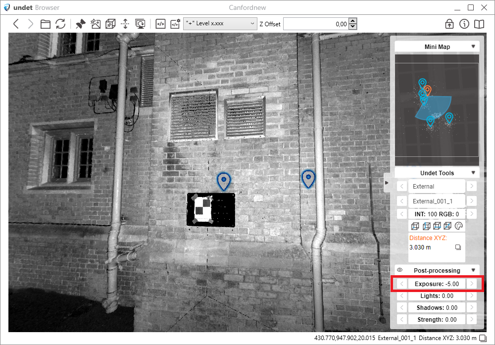 |

